MAKE A MEME
View Large Image

| View Original: | 1663_map_Pieter_Goos_northsea_norwegian_sea.jpg (6950x5989) | |||
| Download: | Original | Medium | Small | Thumb |
| Courtesy of: | commons.wikimedia.org | More Like This | ||
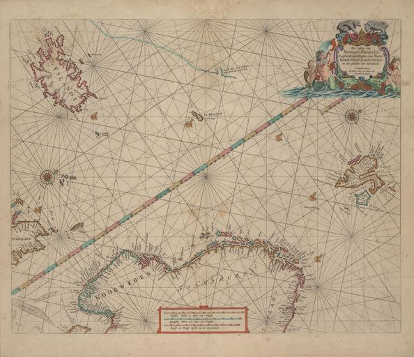
| Keywords: 1663 map Pieter Goos northsea norwegian sea.jpg De Custen van Noorwegen Finmarcken Laplandt Spitsbergen Ian Mayen Eylandt Yslandt als mede Hitlandt en een gedeelte van Schotlandt de Karte von Pieter Goos zeigt Nordsee und Europäisches Nordmeer samt den angrenzenden Küsten en Map by Peter Goos shows Norwegian Sea North Sea and adjacent coasts 1663 http //islandskort is/en/map/show/100 National and University Library of Iceland Creator Pieter Goos other versions PD-old-100 PD-US Uploaded with UploadWizard Pieter Goos Old maps of oceans Old maps of Norway Old maps of Iceland Old maps of Scotland Old maps of Svalbard Old maps of Jan Mayen Portolan charts made in the 17th century Maps with figures 1663 maps | ||||