MAKE A MEME
View Large Image

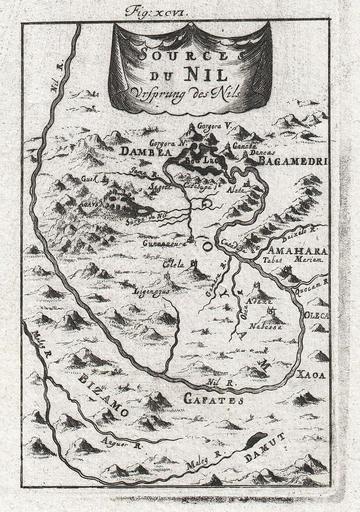
| View Original: | 1719_Mallet_Map_of_the_Source_of_the_Nile,_Ethiopia_(Abyssinia)_-_Geographicus_-_Nil-mallet-1719.jpg (1055x1500) | |||
| Download: | Original | Medium | Small | Thumb |
| Courtesy of: | commons.wikimedia.org | More Like This | ||
| Keywords: 1719 Mallet Map of the Source of the Nile, Ethiopia (Abyssinia) - Geographicus - Nil-mallet-1719.jpg Artwork de l' Univers which was itself the largest and most comprehensive work of its kind issued to date 1719 undated Size in 4 5 7 object history credit line accession number de l' Univers</i> 1719 German edition Geographicus-source de L'Universe 3096 Old maps of Ethiopia Maps of the Blue Nile | ||||