MAKE A MEME
View Large Image

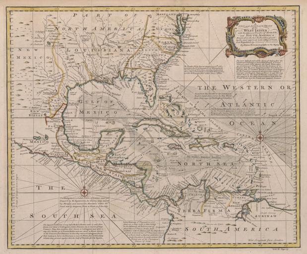
| View Original: | 1720_Map_of_the_West_Indies_with_the_Adjacent_Coasts_of_North_and_South_America_(Bowen).jpg (9010x7447) | |||
| Download: | Original | Medium | Small | Thumb |
| Courtesy of: | commons.wikimedia.org | More Like This | ||
| Keywords: 1720 Map of the West Indies with the Adjacent Coasts of North and South America (Bowen).jpg LargeImage en 1720 Map of the West Indies with the Adjacent Coasts of North and South America Bowen 2011-07-09 http //texashistory unt edu/ark /67531/metapth50255/m1/1/ q caribbean Bowen Emanuel d 1767 PD-old-100 Old maps of the Caribbean | ||||