MAKE A MEME
View Large Image

| View Original: | 1840_S.D.U.K._Map_of_Germany_-_Geographicus_-_Germany-sduk-1840.jpg (4000x3224) | |||
| Download: | Original | Medium | Small | Thumb |
| Courtesy of: | commons.wikimedia.org | More Like This | ||
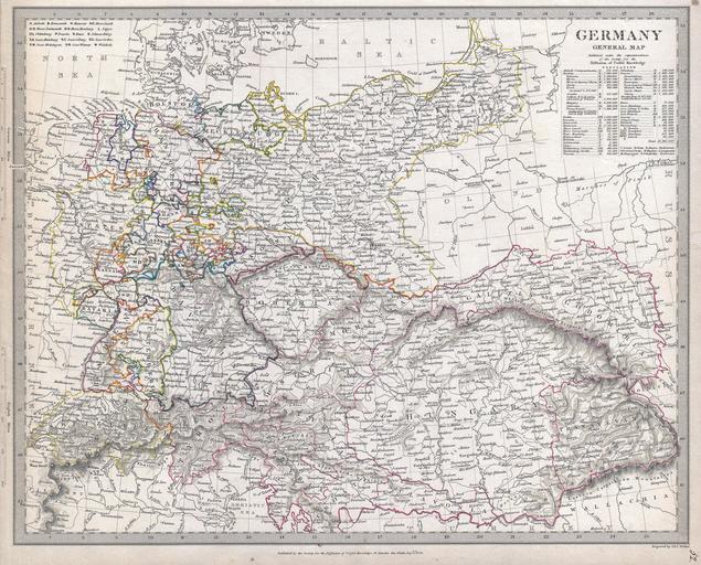
| Keywords: 1840 S.D.U.K. Map of Germany - Geographicus - Germany-sduk-1840.jpg This is the Society for Diffusion of Useful Knowledge ôs attractive 1840 map of Germany Covers Germany from the North Sea to Prussia and as far south as Switzerland and Hungary As with most S D U K offers superb detail and color coding according to district A table in the upper right quadrant offers population statistics for different German regions Prepared as plat no 52 for volume 2 of the Chapman and Hall issue of the S D U K Atlas 1840 dated Size in 15 5 12 5 object history credit line accession number Germany-sduk-1840 <i>Maps of The Society for the Diffusion of Useful Knowledge</i> Vol 1 London Chapman and Hall 186 Strand 1844 Geographicus-source PD-art Old maps of German Confederation 1840 maps Germany in the 19th century Society for the Diffusion of Useful Knowledge Great Britain | ||||