MAKE A MEME
View Large Image

| View Original: | 1846_Oregon_territory.jpg (2218x2010) | |||
| Download: | Original | Medium | Small | Thumb |
| Courtesy of: | commons.wikimedia.org | More Like This | ||
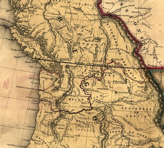
| Keywords: 1846 Oregon territory.jpg From http //hdl loc gov/loc gmd/g4050 ct000603 It shows the 49th Parallel drawn through Vancouver Island as the boundary between US and British territory Old maps of Canada LOC-map g4050 ct000603 PD-old | ||||