MAKE A MEME
View Large Image
| View Original: | 1850_Perthes_Map_of_France_-_Geographicus_-_France-perthes-1850.jpg (2892x2530) | |||
| Download: | Original | Medium | Small | Thumb |
| Courtesy of: | commons.wikimedia.org | More Like This | ||
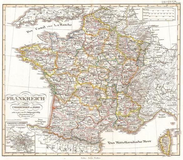
| Keywords: 1850 Perthes Map of France - Geographicus - France-perthes-1850.jpg This fascinating hand colored map depicts the French Empire in 1852 Small inset shows the vicinity of Paris All text in German 1850 Size in 16 5 13 object history credit line accession number France-perthes-1850 Geographicus-source PD-old-100 Maps by Justus Perthes Old maps of France 1850 maps Maps in German | ||||