MAKE A MEME
View Large Image

| View Original: | 1863_Johnson_Map_of_Virginia,_Maryland,_Delaware_^_Pennsylvania_-_Geographicus_-_PAWAVAMDDE-j-62.jpg (4000x2908) | |||
| Download: | Original | Medium | Small | Thumb |
| Courtesy of: | commons.wikimedia.org | More Like This | ||
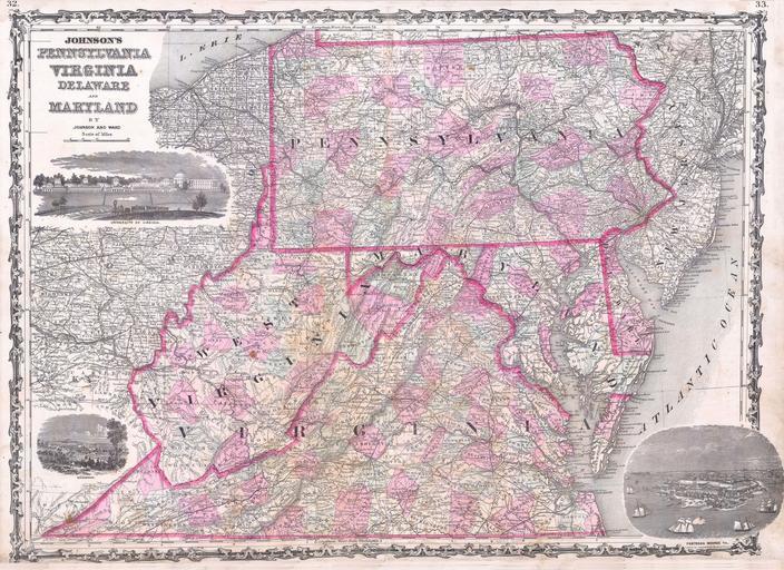
| Keywords: 1863 Johnson Map of Virginia, Maryland, Delaware ^ Pennsylvania - Geographicus - PAWAVAMDDE-j-62.jpg This magnificent 1863 hand colored map of the Middle Atlantic states including Pennsylvania Virginia West Virginia Delaware and Maryland was published by American mapmaker A J Johnson A beautiful and historically important map this is the first edition of the Johnson ôs map to depict a partitioned Virginia Map also includes three beautiful woodcut vignettes the University of Virginia Richmond and Fort Monroe 1863 undated Size in 25 18 object history credit line accession number s Geographical Statistical and Historical </i> 1863 A J Johnson Ward edition Geographicus-source PD-old-100 Maps by Alvin Jewett Johnson 1863 maps Old maps of Delaware Old maps of Maryland Old maps of Pennsylvania Old maps of Virginia Old maps of West Virginia | ||||