MAKE A MEME
View Large Image
| View Original: | 1913 Washington state highways.svg (1152x639) | |||
| Download: | Original | Medium | Small | Thumb |
| Courtesy of: | commons.wikimedia.org | More Like This | ||
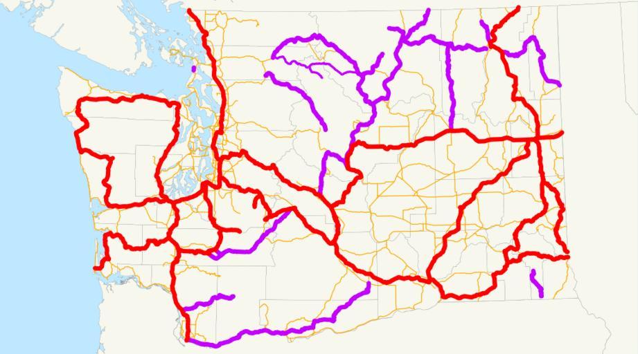
| Keywords: 1913 Washington state highways.svg This is a map of the state highways in Washington as they existed in 1913 Primary routes are red secondary routes are purple and the portion of the old Cascade Wagon Road that remained is thinner purple Thin orange is just current routes Email me if you would like a copy of the GIS data I created for the highways 2008-03-27 own assumed NE2 Road maps of state highways in Washington state | ||||