MAKE A MEME
View Large Image

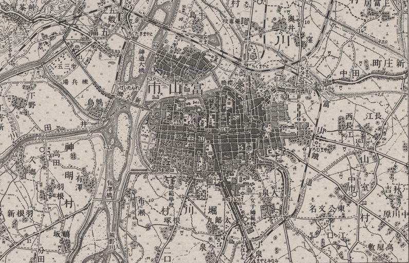
| View Original: | жҳӯе’Ң5е№ҙеҪ“жҷӮеҜҢеұұеёӮе‘Ёиҫәең°еӣі.jpg (1575x1013) | |||
| Download: | Original | Medium | Small | Thumb |
| Courtesy of: | commons.wikimedia.org | More Like This | ||
| Keywords: жҳӯе’Ң5е№ҙеҪ“жҷӮеҜҢеұұеёӮе‘Ёиҫәең°еӣі.jpg ja 1930е№ҙпјҲжҳӯе’Ң5е№ҙпјүеҪ“жҷӮгҒ®еҜҢеұұеёӮе‘Ёиҫәе °еӣіг Ӯ 1930 еӨ§ж—Ҙж ¬её еӣҪйҷёи»ҚеҸӮи¬ ж ¬йғЁпјҲйҷёе °жё¬йҮҸйғЁпјүз·Ёг Ғг ҺжҳҺжІ»еӣӣеҚҒдёүе№ҙжё¬еӣіжҳӯе’Ңдә”е№ҙдҝ®жӯЈжё¬еӣі еҜҢеұұг Ҹг Ғ1930е№ҙпјҲжҳӯе’Ң5е№ҙпјү еӨ§ж—Ҙж ¬её еӣҪйҷёи»ҚеҸӮи¬ ж ¬йғЁпјҲйҷёе °жё¬йҮҸйғЁпјү other versions PD-Japan-organization PD-1996 Japan History of Toyama Maps of Toyama prefecture | ||||