MAKE A MEME
View Large Image

| View Original: | Aerial_view_of_Stadium_Memorial,_Lincoln.jpg (4000x4000) | |||
| Download: | Original | Medium | Small | Thumb |
| Courtesy of: | commons.wikimedia.org | More Like This | ||
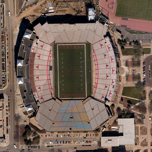
| Keywords: Aerial view of Stadium Memorial, Lincoln.jpg en Aerial view of Stadium Memorial Lincoln This image is a High Resolution Orthoimagery 6-inch spatial resolution Lancaster County Dataset taken in April 2007 High Resolution Orthoimagery looks like a photograph but any distortions caused by the tilt of the camera or topography of the land have been removed so orthoimages are geospatially accurate and can be used as maps 2013-01-28 16 04 28 http //gallery usgs gov/photos/01_29_2013_sXNa6EDqp3_01_29_2013_0 VChUu2ddUtB USGS other versions PD-USGov Uploaded with UploadWizard Memorial Stadium Lincoln Files by User Anna Frodesiak Aerial photographs of stadiums | ||||