MAKE A MEME
View Large Image

| View Original: | Aiterbach_Karte_von_ca._1810.tiff (478x607) | |||
| Download: | Original | Medium | Small | Thumb |
| Courtesy of: | commons.wikimedia.org | More Like This | ||
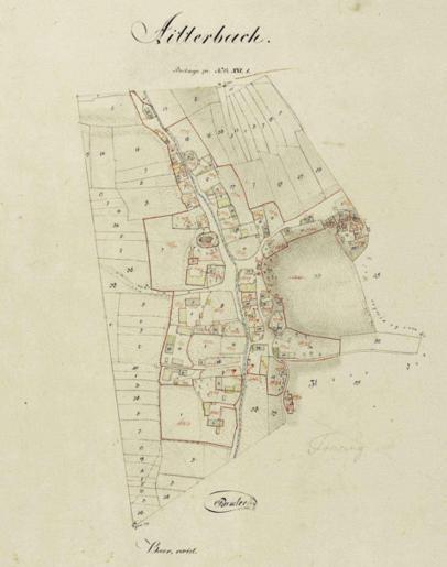
| Keywords: Aiterbach Karte von ca. 1810.tiff de Ortsblatt der ehemaligen Gemeinde Aiterbach von ca 1810 2014-02-06 12 01 39 Bayerisches Landesvermessungsamt author Custom license marker 2014 02 06 PD-old-100 Uploaded with UploadWizard Allershausen maps of Landkreis Freising Images from Bayerische Vermessungsverwaltung | ||||