MAKE A MEME
View Large Image

| View Original: | AMH-6096-NA_Map_of_land_divisions_around_the_Cape_of_Good_Hope.jpg (2400x1012) | |||
| Download: | Original | Medium | Small | Thumb |
| Courtesy of: | commons.wikimedia.org | More Like This | ||
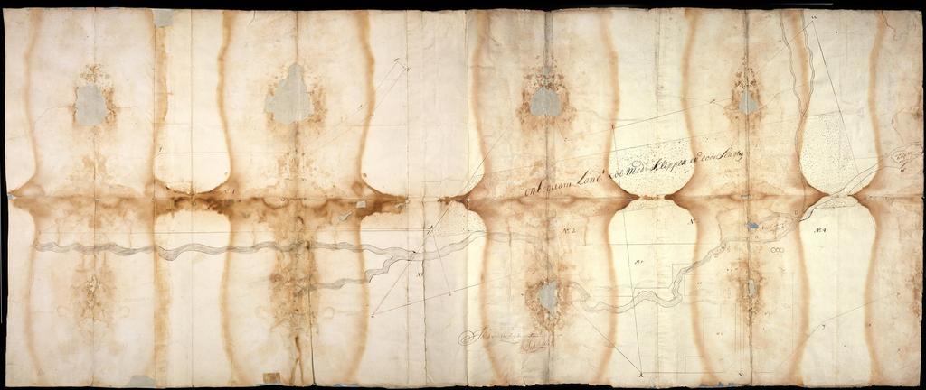
| Keywords: AMH-6096-NA Map of land divisions around the Cape of Good Hope.jpg Artwork nl Kaart met landverdelingen rondom Kaap de Goede Hoop nl Titel catalogus Leupe NA Kaart van de verdeeling in vier gedeelten van het land Verlegen De kaart verkeert in een zeer slechte materiële staat met veel bruine vochtplekken en gaten Notities verso Kaap overgekomen 1709 No 30 volgnummer van het stuk in de band Onderin schaalverdeling Schaal van 100 Reijnlands Roede en Title in the Leupe catalogue NA Kaart van de verdeeling in vier gedeelten van het land Verlegen The chart is in very bad physical condition with many brown moisture marks and holes Notes on the reverse Kaap overgekomen 1709 No 30 serial number of the item in the volume At the bottom is the scale Schaal van 100 Reijnlands Roede Atlas of Mutual Heritage na http //www atlasofmutualheritage nl/en/object/ id 6096 Source at the Atlas of Mutual Heritage - http //www gahetna nl/collectie/archief/inventaris/index/eadid/4 VEL/inventarisnr/810/level/file Source at the Nationaal Archief en Subjects chart / map / plan flora nl Onderwerpen plattegrond / kaart flora en Post this image is related to a VOC trading post called http //www atlasofmutualheritage nl/en/post/ id 320 Cape Town Inscription - author K J Slotboo nl circa 1708 Creator Kaye Jesse Slotsboo nl Kaye Jesse Slotsboo landmeter / kaartenmaker en Kaye Jesse Slotsboo land surveyor / mapmaker Institution Nationaal Archief nl pen en penseel op papier en pen and brush on paper Size cm 73 5 179 accession number NL-HaNA_4 VEL_810 old number VEL0810 PD-Art-100 Maps of the Dutch East India Company - South Africa 1708 | ||||