MAKE A MEME
View Large Image

| View Original: | Anglo-Saxon_World_Map_Corrected.png (1827x2256) | |||
| Download: | Original | Medium | Small | Thumb |
| Courtesy of: | commons.wikimedia.org | More Like This | ||
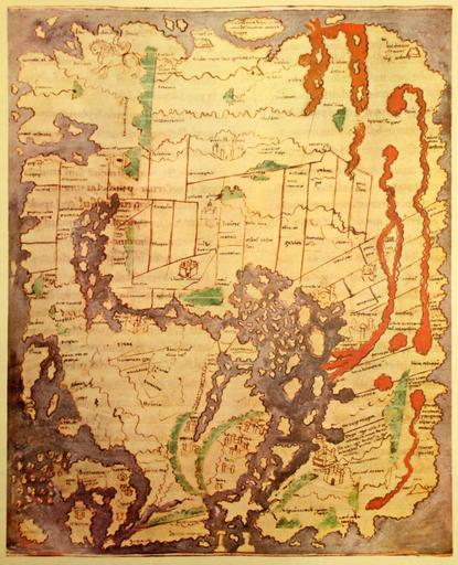
| Keywords: Anglo-Saxon World Map Corrected.png The 'Cotton' of Anglo-Saxon World Map British Library; Cotton MSS Tib B V folio 56 ; date probably about AD 1000 in color Ceylon Taprobanea is at top Britain at lower left Photographed from print likely a book called Atlas of Israel Gulf3 JPG 2010-05-07 23 01 UTC user Koyos; Original uploader was صانع القوالب at http //ar wikipedia org ar wikipedia derivative work Koyos <span class signature-talk >talk</span> Perspective contrast color correction Koyos Gulf3 JPG PD-old original upload log This image is a derivative work of the following images File Gulf3 JPG licensed with PD-old 2008-03-17T13 59 07Z File Upload Bot Magnus Manske 2304x3072 2027626 Bytes <nowiki> ar wikipedia Transferred from http //ar wikipedia org ar wikipedia 2007-12-09 original upload date Original uploade</nowiki> Uploaded with derivativeFX Maps made in the 10th century British Library Cotton Manuscripts | ||||