MAKE A MEME
View Large Image

| View Original: | Barvidsyssel_in_medieval_times_(cropped).jpg (1182x765) | |||
| Download: | Original | Medium | Small | Thumb |
| Courtesy of: | commons.wikimedia.org | More Like This | ||
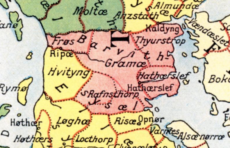
| Keywords: Barvidsyssel in medieval times (cropped).jpg Administrative division of Denmark in Medieval times The different colors indicate the division in sysler in Jutland while the red lines indicate borders between herreder hundreds Dotted red lines indicate newer borders Note The four purely ecclesiastic sysler on Zealand are not included on this map The map is made by professor Johannes Steenstrup died 1935 for use in Danmarks Riges Historie 1900 and is in Public Domain because of the age PD-old derivative works Administrative division of denmark in medieval times-detail utlande jpg Administrative division of denmark in medieval times jpg Barvidsyssel in Jutland Denmark Nico-dk Administrative division of denmark in medieval times jpg Old maps of Denmark | ||||