MAKE A MEME
View Large Image

| View Original: | Bherwerre Parish NSW.jpg (2572x2256) | |||
| Download: | Original | Medium | Small | Thumb |
| Courtesy of: | commons.wikimedia.org | More Like This | ||
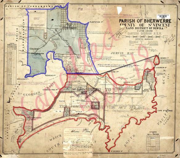
| Keywords: Bherwerre Parish NSW.jpg Map of the Parish of Bherwerre County of St Vincent New South Wales 130eff Boundary of the parish since 1915 e5151a Parts of the parish which were transferred to the Commonwealth for the Jervis Bay Territory in 1915 New South Wales Department of Lands Parish map preservation project http //parishmaps lands nsw gov au/pmap html 1912 some writing on the map dates to late 1910s but still before copyright would apply Dept of Lands Sydney govt map copyright expires 50 years after it was made http //www copyright org au/publications/infosheets htm M it was also out of copyright in 1996 and so is not copyrighted in the US so PD-Australia Cadastral maps of New South Wales | ||||