MAKE A MEME
View Large Image
| View Original: | Carte Châteaulin 1780.JPEG.jpg (1396x940) | |||
| Download: | Original | Medium | Small | Thumb |
| Courtesy of: | commons.wikimedia.org | More Like This | ||
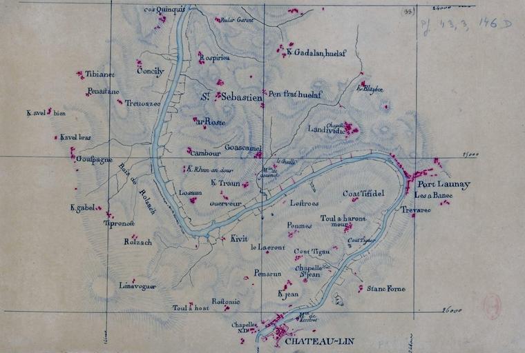
| Keywords: Carte Châteaulin 1780.JPEG fr Carte de la région de Châteaulin et Port-Launay publiée entre 1771 et 1785 Bibliothèque nationale de France département Cartes et plans GESH18PF43DIV3P146D 2016-05-17 06 15 19 http //gallica bnf fr/ark /12148/btv1b530150024 r Ch C3 A2teaulin Auteur inconnu entre 1771 et 1785 other versions PD-old-auto Châteaulin Port-Launay Old maps of Bretagne 1785 maps 1785 in Bretagne | ||||