MAKE A MEME
View Large Image

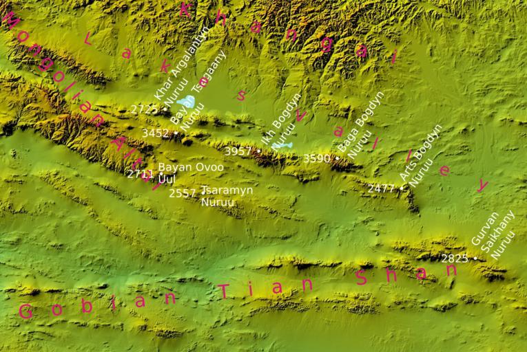
| View Original: | Gobian Altai topography.svg (2323x1554) | |||
| Download: | Original | Medium | Small | Thumb |
| Courtesy of: | commons.wikimedia.org | More Like This | ||
| Keywords: Gobian Altai topography.svg en Digital Elevation Model comes from the NASA SRTM database original DEM was resampled to the 300 m size pixel size and filtered next shadowing was applied own Bogomolov PL 2009-11-04 Topographic maps of Mongolia SVG maps of Mongolia | ||||