MAKE A MEME
View Large Image

| View Original: | Kara seaMS.PNG (710x534) | |||
| Download: | Original | Medium | Small | Thumb |
| Courtesy of: | commons.wikimedia.org | More Like This | ||
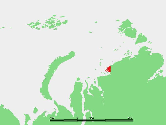
| Keywords: Kara seaMS.PNG Nordensjelda Islands own work based on PD map 2007-11-04 edited by M Minderhoud PD-Demis Original upload log en wikipedia Amdf page en wikipedia Kara_seaMS PNG 2007-11-04 10 28 Mohonu 710×534×8 18642 bytes <nowiki>This image is in the public domain because came from the site http //www demis nl/wms/mapclip htm and was released by the copyright holder Permission is granted to copy distribute and/or modify this map since it is based on free of copyright images from</nowiki> Maps of the Kara Sea Locator maps of islands of Russia Maps of Krasnoyarsk Krai | ||||