MAKE A MEME
View Large Image
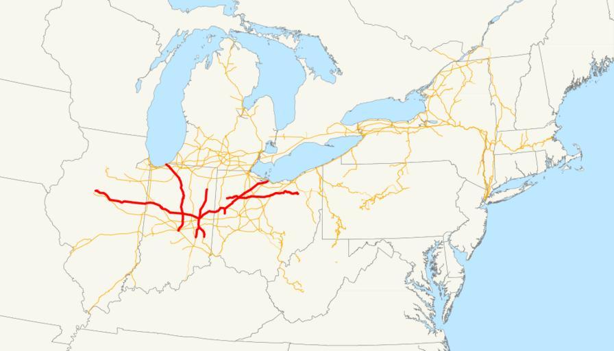
| View Original: | Lake Erie and Western Railroad system map (1918).svg (1119x639) | |||
| Download: | Original | Medium | Small | Thumb |
| Courtesy of: | commons.wikimedia.org | More Like This | ||
| Keywords: Lake Erie and Western Railroad system map (1918).svg This is a map of the Lake Erie and Western Railroad drawn on the New York Central system as of 1918 with trackage rights in purple Email me if you would like a copy of the GIS data I created modified from Bureau of Transportation Statistics North American Transportation Atlas Data or if you see any errors 2008-11-13 own assumed NE2 System maps of defunct U S railroads Lake Erie and Western Railroad Maps of New York Central Railroad | ||||
.svg)