MAKE A MEME
View Large Image

| View Original: | Map Denmark Lolland Falster Moen brown.gif (775x450) | |||
| Download: | Original | Medium | Small | Thumb |
| Courtesy of: | commons.wikimedia.org | More Like This | ||
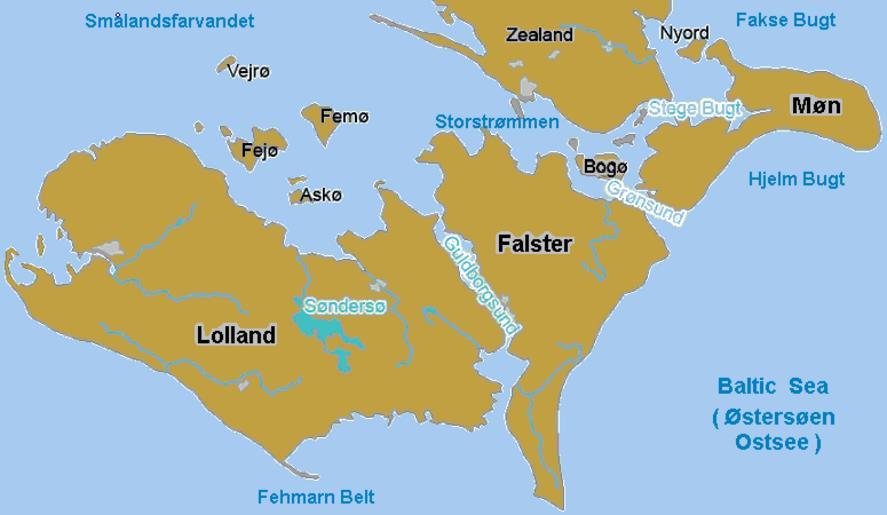
| Keywords: Map Denmark Lolland Falster Moen brown.gif Map of Denmark islands of Lolland Falster Møn and the surrounding bays and islands some Danish names This version has some labels in 3-pixel Arial font-size 14 to be readable when resized < 300px width readable font has 1-pixel for each 250px of image width Based on Wikimedia Commons file Image La2-demis-lolland-falster-moen png color-shifted to brown labeled 2007-09-01 User Wikid77 derivative from Demis map The map has some variations Map in green with smaller names wider 878x504px Image Denmark-lolland-falster-moen Islands Bays png Map with no labels blank wider 904x553px Image La2-demis-lolland-falster-moen png PD-Demis Geography of Denmark Maps of Denmark | ||||