MAKE A MEME
View Large Image

| View Original: | Map-Prussia-Hohenzollern.png (1741x1444) | |||
| Download: | Original | Medium | Small | Thumb |
| Courtesy of: | commons.wikimedia.org | More Like This | ||
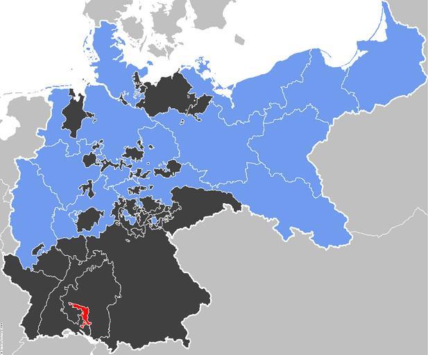
| Keywords: Map-Prussia-Hohenzollern.png Map-Prussia-Hohenzollern svg en 52 Pickup The Prussian Province of Hohenzollern red within the Kingdom of Prussia blue Other members of the German Confederation shown in black Source Map data of the IEG-Maps project by Andreas Kunz B Johnen and Joachim Robert Moeschl of the University of Mainz For further info visit http //www ieg-maps uni-mainz de 52 Pickup Locator maps of provinces of Prussia Maps of Hohenzollernsche Lande | ||||