MAKE A MEME
View Large Image

| View Original: | Map showing Czechoslovakia's location in Central Europe (LOC) (29136678232).jpg (1024x702) | |||
| Download: | Original | Medium | Small | Thumb |
| Courtesy of: | commons.wikimedia.org | More Like This | ||
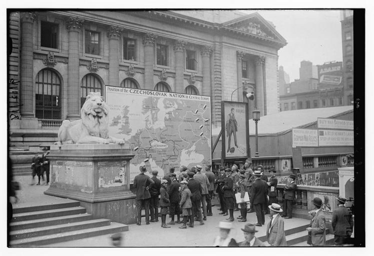
| Keywords: Map showing Czechoslovakia's location in Central Europe (LOC) (29136678232).jpg Bain News Service publisher Map showing Czechoslovakia's location in Central Europe 1918 Sept 13 date created or published later by Bain 1 negative glass ; 5 x 7 in or smaller Notes Title from data provided by the Bain News Service on the negative Photograph shows a large map of Czechoslovakia in front of the New York Public Library during World War I A large painting of the poster Tell that to the Marines by James Montgomery Flagg is next to the map Forms part of George Grantham Bain Collection Library of Congress Subjects World War 1914-1918 Format Glass negatives Rights Info No known restrictions on publication Repository Library of Congress Prints and Photographs Division Washington D C 20540 USA http //hdl loc gov/loc pnp/pp print hdl loc gov/loc pnp/pp print General information about the Bain Collection is available at http //hdl loc gov/loc pnp/pp ggbain hdl loc gov/loc pnp/pp ggbain Higher resolution image is available Persistent URL http //hdl loc gov/loc pnp/ggbain 27578 hdl loc gov/loc pnp/ggbain 27578 Call Number LC-B2- 4714-16 https //www flickr com/photos/library_of_congress/29136678232/ Map showing Czechoslovakia's location in Central Europe LOC LOC-image ggbain 27578 https //www flickr com/people/8623220 N02 The Library of Congress http //www loc gov/rr/print/195_copr html noknown The Library of Congress Flickr Commons PD-Bain The Library of Congress https //flickr com/photos/8623220 N02/29136678232 2016-09-08 04 32 10 pd Uncategorized 2016 December 20 | ||||