MAKE A MEME
View Large Image

| View Original: | Mona Canyon.jpg (2376x1515) | |||
| Download: | Original | Medium | Small | Thumb |
| Courtesy of: | commons.wikimedia.org | More Like This | ||
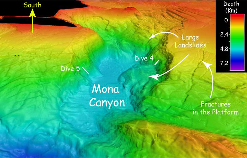
| Keywords: Mona Canyon.jpg en The Canyon at the Monda Passage Caption Multibeam sonar bathymetry of Mona Canyon off the northwest coast of Puerto Rico showing large landslides that might be related to the 1918 magnitude-7 3 earthquake Image courtesy of NOAA Okeanos Explorer Program Oc√©ano Profundo 2015 Exploring Puerto Rico ôs Seamounts Trenches and Troughs en El cany√≥n en el Canal de la Mona 2015 NOAA http //oceanexplorer noaa gov/okeanos/explorations/ex1502/logs/apr27/media/mona-700 jpg NOAA other versions PD-USGov Bathymetric maps Bathymetric maps of the Atlantic Ocean Maps of Puerto Rico Mona Passage Okeanos Explorer Submarine canyons Mona Canyon Subaqueous landforms Submarine canyon heads | ||||