MAKE A MEME
View Large Image

| View Original: | Mville_1864map.jpg (800x510) | |||
| Download: | Original | Medium | Small | Thumb |
| Courtesy of: | commons.wikimedia.org | More Like This | ||
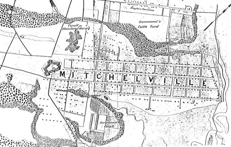
| Keywords: Mville 1864map.jpg Excerpt of 1869 U S Government map showing Mitchelville part of the Port Royal Experiment PD-USGov original upload log page en wikipedia 1869WTD_excerpt JPG 2006-03-28 20 06 Evets70 468×479× 27118 bytes <nowiki>Excerpt of 1869 U S Government map showing Mitchelville</nowiki> Old maps of the American Civil War Maps showing African American history Beaufort County South Carolina Historical images of South Carolina | ||||