MAKE A MEME
View Large Image

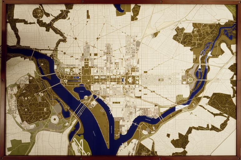
| View Original: | National Capital Planning Commssion map of Washington, D.C LCCN2011633173.tif.tiff (6699x4435) | |||
| Download: | Original | Medium | Small | Thumb |
| Courtesy of: | commons.wikimedia.org | More Like This | ||
| Keywords: National Capital Planning Commssion map of Washington, D.C LCCN2011633173.tif 1 transparency color ; 4 x 5 in or smaller Notes Title date and keywords provided by the photographer ; Digital image produced by Carol M Highsmith to represent her original film transparency; some details may differ between the film and the digital images ; Forms part of the Selects Series in the Carol M Highsmith Archive ; Gift and purchase; Carol M Highsmith; 2011; DLC/PP-2011 124 ; Credit line Photographs in the Carol M Highsmith Archive Library of Congress Prints and Photographs Division between 1980 2006 Creator Carol M Highsmith Library of Congress Catalog http //lccn loc gov/2011633173 Image download https //cdn loc gov/master/pnp/highsm/14900/14980a tif Original url http //hdl loc gov/loc pnp/highsm 14980 No known restrictions on publication LOC-image highsm 14980 PD-Highsmith Images uploaded by Fæ Photographs by Carol M Highsmith | ||||