MAKE A MEME
View Large Image

| View Original: | National highways in Tokyo.svg (772x622) | |||
| Download: | Original | Medium | Small | Thumb |
| Courtesy of: | commons.wikimedia.org | More Like This | ||
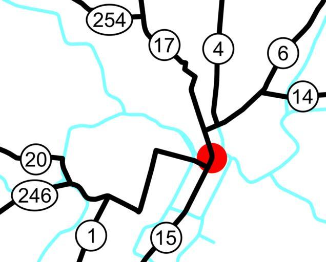
| Keywords: National highways in Tokyo.svg spuimap Map of the national routes running near downtown Tokyo Japan The Metropolitan Expressway is shown in light blue The red dot is the Nihonbashi Bridge 35 684011 139 774493 where 1 4 6 14 15 17 and 20 end This is traced on Google Maps aerials; routing information is from Google Maps Transport maps of Tokyo Route 1 Japan Route 4 Japan Route 6 Japan Route 14 Japan Route 15 Japan Route 17 Japan Route 20 Japan Route 246 Japan Route 254 Japan | ||||