MAKE A MEME
View Large Image

| View Original: | NOS_Chart_Catalog-Bahamas_Bermuda-Graphic.jpg (4529x3204) | |||
| Download: | Original | Medium | Small | Thumb |
| Courtesy of: | commons.wikimedia.org | More Like This | ||
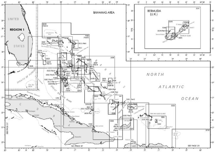
| Keywords: NOS Chart Catalog-Bahamas Bermuda-Graphic.jpg en On catalogs NGA Nautical Charts are broken down into 9 Regions Each Region in turn is divided in several sectors regarding Sailing Directions areas In those areas are displayed the numbers of the charts and their coverage es En los catálogos las cartas editadas por la NGA están separadas en 9 regiones Cada Región se divide a su vez en varios sectores acordes a las áreas abarcadas por lsa Sailing Directions En esos sectores se muestra el número de todas las cartas correspondientes y las areas que cubren http //avn faa gov/index asp xml naco/catalog National Geospatial-Intelligence Agency NGA 2009 PD-USGov Nautical charts Maps of the Bahamas | ||||