MAKE A MEME
View Large Image

| View Original: | Plan_der_kk_Privinzial-Hauptstadt_Innsbruck_(Karte_-_Mariahilf).png (766x477) | |||
| Download: | Original | Medium | Small | Thumb |
| Courtesy of: | commons.wikimedia.org | More Like This | ||
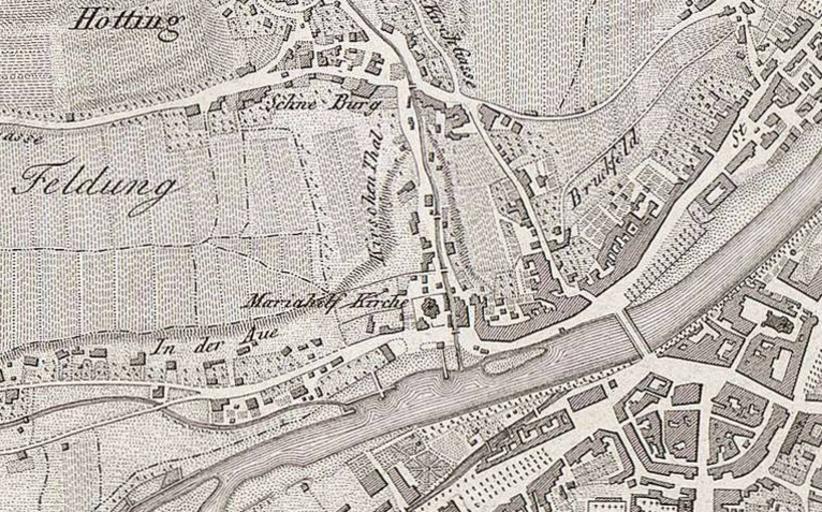
| Keywords: Plan der kk Privinzial-Hauptstadt Innsbruck (Karte - Mariahilf).png Plan der kaiserl koenigl Provinzial Hauptstadt Innsbruck u der nÃĊchsten Umgebungen; c 1 16000 Plan der k k Provinzialhauptstadt Innsbruck und der nÃĊchsten Umgebungen Detail Karte Mariahilf Map of Imperial and Royal Provincial Capital Innsbruck and surroundings detail map Mariahilf century 19 NL Universiteitsbibliotheek VrÄġe Universiteit LL 04961gk 166/od/1866; http //imagebase ubvu vu nl/getobj php ppn 330024280 Plan der kk Privinzial-Hauptstadt Innsbruck jpg 50 Author nonymous file 2012-10-15 cutout W B Plan der kk Privinzial-Hauptstadt Innsbruck Karte jpg PD-old Plan der kk Privinzial-Hauptstadt Innsbruck +Mariahilf Innsbruck-Mariahilf | ||||