MAKE A MEME
View Large Image

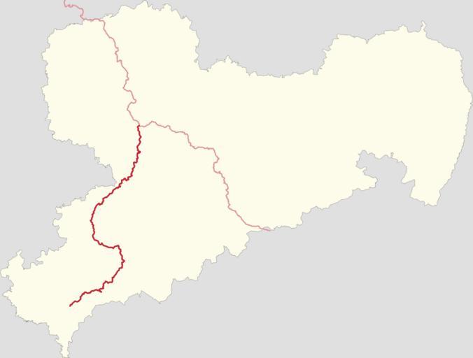
| View Original: | Positionskarte der Radroute an der Zwickauer Mulde in Sachsen.svg (3000x2272) | |||
| Download: | Original | Medium | Small | Thumb |
| Courtesy of: | commons.wikimedia.org | More Like This | ||
| Keywords: Positionskarte der Radroute an der Zwickauer Mulde in Sachsen.svg de Positionskarte der Radroute an der Zwickauer Mulde in Sachsen 2015-03-24 own Cmuelle8 Dieses Erzeugnis Produced Work basiert auf Kartendaten © OpenStreetMap Mitwirkende verfügbar unter http //opendatacommons org/licenses/odbl/1-0/ OdbL Details other versions Howto/Source Code <syntaxhighlight lang bash > Erstellt mit einer stark modifizierten Version von gpx2svg Relationsdaten-Download mittels rel2gpx -- http //packages ubuntu com/de/trusty/rel2gpx oder händisch mittels GPX-Export auf overpass-turbo eu sudo apt-get install rel2gpx for n in 39013 39014 30259 62467 ; do rel2gpx -g n ; done wget -qO - 'https //de wikipedia org/wiki/Benutzer Cmuelle8/gpx2svg py' \ sed -e '1 /<pre>/d' -e '/< pre>/ d' -e 's/>/>/g' -e 's/</</g' > gpx2svg py chmod +x gpx2svg py - Mulderadroute_ Vereinte_Mulde gpx in sächsischen _SN gpx und sachsen-anhaltinischen Teil auftrennen _ST gpx - Tracks Mulderadroute_ Vereinte_Mulde _ST gpx Mulderadroute_ Vereinte_Mulde _SN gpx Mulderadroute_ Freiberger_Mulde gpx händisch oder mit JOSM im Ebenen-Dialog vereinen und als Dim_Mashup gpx speichern /gpx2svg py -c -i Sachsen gpx z -i Dim_Mashup gpx -i 'Mulderadroute_ Zwickauer_Mulde gpx' -sl \ > 'Positionskarte der Radroute an der Zwickauer Mulde in Sachsen svg' </syntaxhighlight> ;size reduction seen in second version was achieved by prefiltering the gpx tracks with the en Ramer “Douglas “Peucker_algorithm implementation used in JOSM Menu Edit > Simplify way changing gpx2svg py to reduce the digits of the pixel coords' fractional parts from 13 to 2 up to an upscaling factor of hundred no differences to the original should be seen i e up to a width of 30 000px <small><syntaxhighlight lang diff > --- gpx2svg py orig 2015-03-24 20 45 59 000000000 +0100 +++ gpx2svg py 2015-03-29 11 22 50 739641936 +0200 -238 7 +238 7 for coord in segment x y scaleCoords coord height scale - coordString coordString + ' ' + str x + ' ' + str y + coordString coordString + ' ' + str round x 2 + ' ' + str round y 2 return coordString </syntaxhighlight></small> cc-zero Mulderadweg Uploaded with UploadWizard Locator maps of cycling routes in Saxony Mulderadweg | ||||