MAKE A MEME
View Large Image

| View Original: | Reading_PA_topo_map_1947.png (711x455) | |||
| Download: | Original | Medium | Small | Thumb |
| Courtesy of: | commons.wikimedia.org | More Like This | ||
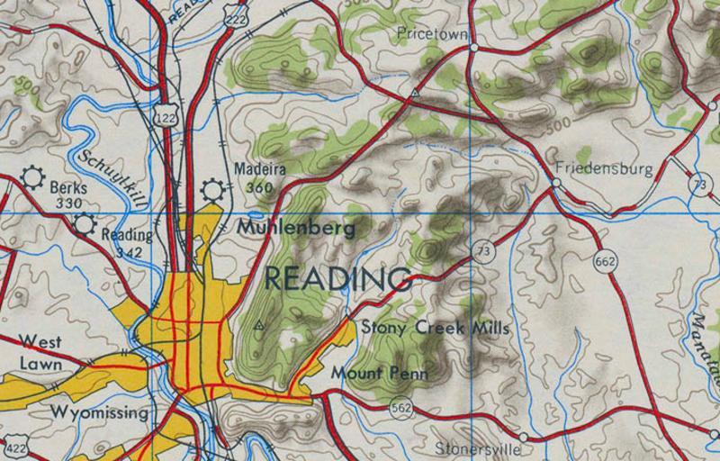
| Keywords: Reading PA topo map 1947.png A 1947 topographic map of the Reading Pennsylvania area Cropped from the http //www lib utexas edu/maps/topo/250k/txu-pclmaps-topo-us-newark-1947 jpg 1947 Newark NJ 1 250 000 Quadrangle The color and saturation of the map were adjusted using Paint Shop Pro Published 1947 Army Map Service United States Department of the Army Washington D C PD-USGov PD-USGov Reading Pennsylvania Pennsylvania Route 73 Topographic maps of Pennsylvania USA maps by U S Army Map Service | ||||