MAKE A MEME
View Large Image

| View Original: | Rigobert_Bonne._Perse._1787_(C).jpg (952x616) | |||
| Download: | Original | Medium | Small | Thumb |
| Courtesy of: | commons.wikimedia.org | More Like This | ||
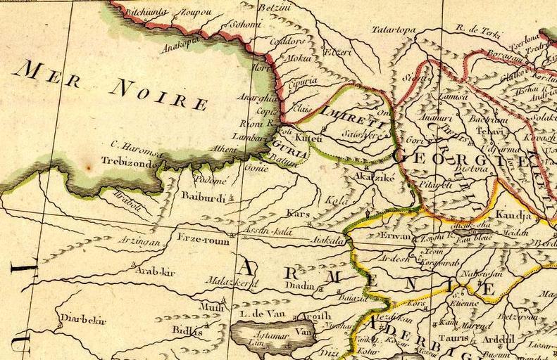
| Keywords: Rigobert Bonne. Perse. 1787 (C).jpg 100 style background-color transparent; - valign top 400px en Carte de l'Empire de Perse Projettee et assujettie aux observations astron par Mr Bonne Hydrographe du Roi A Paris Chez Lattre Graveur ordinaire de Monseigr le Dauphin rue S Jacques a la Ville de Bordeaux Avec privilege du Roy 1787 Arrivet inv sculp Image Rigobert Bonne Perse 1787 jpg Original from http //www davidrumsey com/luna/servlet/detail/RUMSEY~8~1~20481~540079 www davidrumsey com 1787 creator Rigobert Bonne PD-old-100 ImageNote 1 544 175 115 49 952 616 2 Imireti ImageNoteEnd 1 ImageNote 2 463 233 60 40 952 616 2 Guria ImageNoteEnd 2 ImageNote 3 601 283 77 32 952 616 2 Akalzikè ImageNoteEnd 3 ImageNote 4 474 214 27 18 952 616 2 Poti ImageNoteEnd 4 ImageNote 5 808 213 58 24 952 616 2 Telavi ImageNoteEnd 5 ImageNote 6 710 189 67 21 952 616 2 Ananuri ImageNoteEnd 6 ImageNote 7 691 220 37 30 952 616 2 Gori ImageNoteEnd 7 ImageNote 8 732 210 89 152 952 616 2 Card Ueli ImageNoteEnd 8 Old maps of the Black Sea Maps by Rigobert Bonne Old maps of the Caucasus Old maps of Iran Old maps of Iraq Old maps of Armenia Old maps of Turkey Old maps of the Russian Empire 18th-century maps of Azerbaijan Old maps of Imereti History of Guria Maps of the history of Abkhazia 18th-century maps of Georgia 1787 maps David Rumsey Historical Map Collection Maps of Kars Province | ||||