MAKE A MEME
View Large Image

| View Original: | Schetskaart_van_het_Noord_pool_bekken,_tot_aanwijzing_van_de_verste_punten_langs_verschillende_wegen_bereikt_-_UvA-BC_OTM_HB-KZL_61_18_26.jpg (5059x3900) | |||
| Download: | Original | Medium | Small | Thumb |
| Courtesy of: | commons.wikimedia.org | More Like This | ||
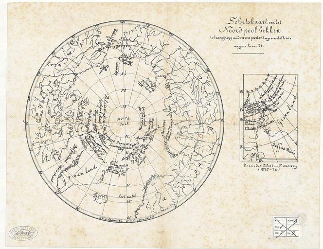
| Keywords: Schetskaart van het Noord pool bekken, tot aanwijzing van de verste punten langs verschillende wegen bereikt - UvA-BC OTM HB-KZL 61 18 26.jpg Schetskaart van het Noord pool bekken tot aanwijzing van de verste punten langs verschillende wegen bereikt Scale ca 1 26 000 000 Lithogr ca 26 5 cm Additional map De reis der Alert en Discovery 1875-76 Institution Special Collections of the University of Amsterdam UvA-BC Expedition Wikipedia 1880 Creator Unknown PD-old Old maps of the Arctic Maps of the exploration of the Arctic | ||||