MAKE A MEME
View Large Image

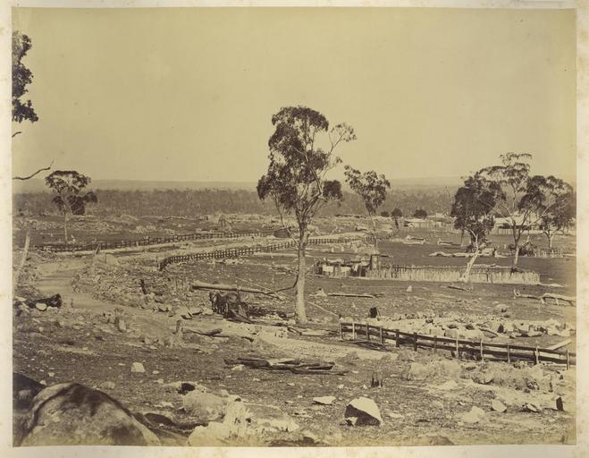
| View Original: | StateLibQld 2 234352 View of the area around Stanthorpe in southern Queensland, 1882.jpg (1000x777) | |||
| Download: | Original | Medium | Small | Thumb |
| Courtesy of: | commons.wikimedia.org | More Like This | ||
| Keywords: StateLibQld 2 234352 View of the area around Stanthorpe in southern Queensland, 1882.jpg en View of the area around Stanthorpe in southern Queensland 1882 Area known as the Granite Belt Stanthorpe is situated on the Great Dividing Range 750m above sea level and 95 km inland from the coast The country was once woodland with large granite boulders It was cleared in the 1800s to make way for orchards and table grapes This photograph shows the granite outcrops dotting the landscape and small settlements beginning 1882 handle 10462/deriv/37647 Item is held by John Oxley Library State Library of Queensland PD-Australia StateLibQld-License Black and white photographs Views of Stanthorpe Fences in Australia Rocks in Australia 1882 in Queensland Houses in Australia Bark Huts | ||||