MAKE A MEME
View Large Image

| View Original: | Tamaqua,_Pennsylvania_Topography_USGS_Hazleton_Quadrant_Map_of_1893=_hzlt93sw.jpg (1260x780) | |||
| Download: | Original | Medium | Small | Thumb |
| Courtesy of: | commons.wikimedia.org | More Like This | ||
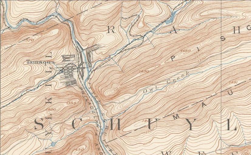
| Keywords: Tamaqua, Pennsylvania Topography USGS Hazleton Quadrant Map of 1893= hzlt93sw.jpg Tammaqua Pennsylvania confluence of the Schuylkill River s showing Tamaqua Gap separating Nesquehoning Mountain to the east and Sharp Mountain to the west <hr/> related/continuation <br/> File Sharp Mountain NE peaks USGS Mahanoy Pennsylvania Quadrant SE maha92se jpg 2013-09-23 23 33 21 PD-USGS USGS PD-USGov Uploaded with UploadWizard Tamaqua Pennsylvania Mountains of Pennsylvania Schuylkill County Pennsylvania Schuylkill Valley Towns in Pennsylvania | ||||