MAKE A MEME
View Large Image

| View Original: | The_Canary_Islands,_with_Madeira_and_Porto_Santo_(1780).jpg (408x600) | |||
| Download: | Original | Medium | Small | Thumb |
| Courtesy of: | commons.wikimedia.org | More Like This | ||
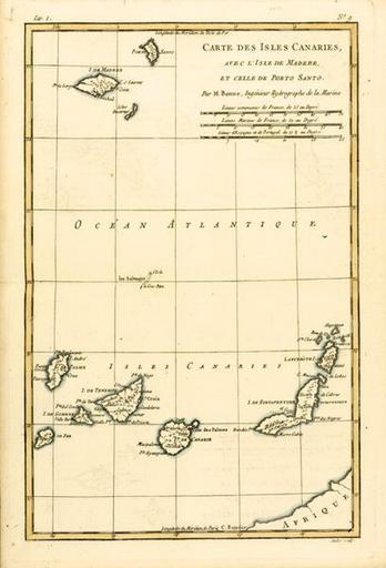
| Keywords: The Canary Islands, with Madeira and Porto Santo (1780).jpg The Canary Islands with Madeira and Porto Santo from 'Atlas de Toutes les Parties Connues du Globe Terrestre' by Guillaume Raynal http //www magnoliabox com/art/80499/The_Canary_Islands_with_Madeira_and_Porto_Santo_from_Atlas_de 1783 creator Rigobert Bonne PD-old-100 <gallery>File 1780 Raynal and Bonne Map of Canary Islands - Geographicus - IslesCanaries-bonne-1780 jpg</gallery> Files of Madeira uploaded by Darwinius Maps by Rigobert Bonne 18th-century maps of Madeira Madeira in the 1780s 1780 in Portugal 1780 maps Old maps of the Canary Islands | ||||