MAKE A MEME
View Large Image

| View Original: | Thuringische_staaten1890.jpg (4767x3222) | |||
| Download: | Original | Medium | Small | Thumb |
| Courtesy of: | commons.wikimedia.org | More Like This | ||
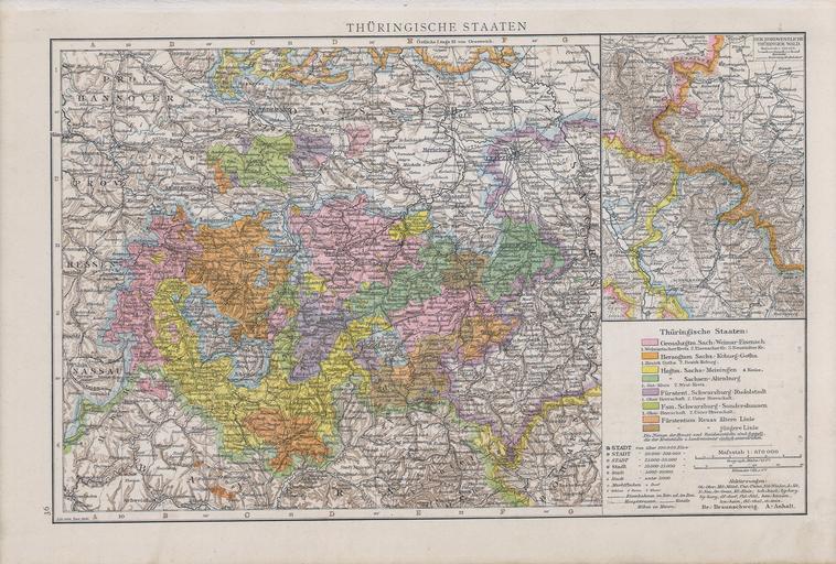
| Keywords: Thuringische staaten1890.jpg en Map of Thuringian States 1890 sk Mapa durínskych štátov 1890 Allgemeiner Handatlas in 120 Kartenseiten nebst alphabetischem Namenverzeichnis / hrsg von der geographischen Anstalt von Velhagen Klasing in Leipzig 2 verm und verb Aufl 2 rev Abdruck Erschienen Bielefeld u Leipzig Velhagen Klasing 1890 S 36 Andree Richard 1890 Old maps of Thuringia Maps of Saxony Province Regierungsbezirk Erfurt PD-old DEFAULTSORT 1890 | ||||