MAKE A MEME
View Large Image

| View Original: | Transmap7.jpg (1888x2098) | |||
| Download: | Original | Medium | Small | Thumb |
| Courtesy of: | commons.wikimedia.org | More Like This | ||
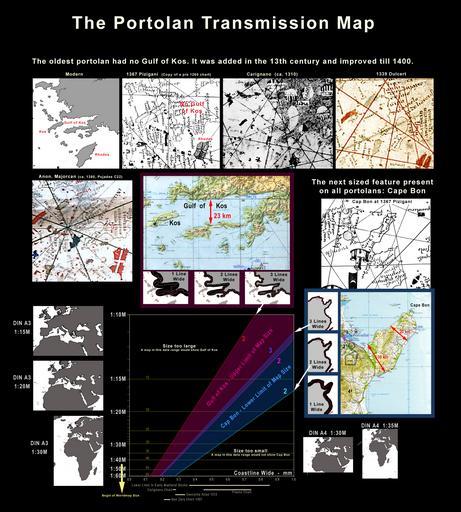
| Keywords: Transmap7.jpg en Scale range of possible portolan transmission map Limit by Gulf of Kos absence and Cape Bon presence Portolankarten des Mittelalters begrenzt durch das Fehlen des Golf von Kos und das Vorhandensein des Kap Bon Own work PD-old-100 PD-USGov-Military-Air Force Portolanero 2010 Credit line http //en wikipedia org/wiki/User 3APortolanero Wikimedia Commons CC-BY-3 0 CC-BY-3 0 Cartometric analysis Maps of Kos Aegean Sea maps Maps in English Portolan charts | ||||