MAKE A MEME
View Large Image

| View Original: | Ukraine_1882.JPG (1477x978) | |||
| Download: | Original | Medium | Small | Thumb |
| Courtesy of: | commons.wikimedia.org | More Like This | ||
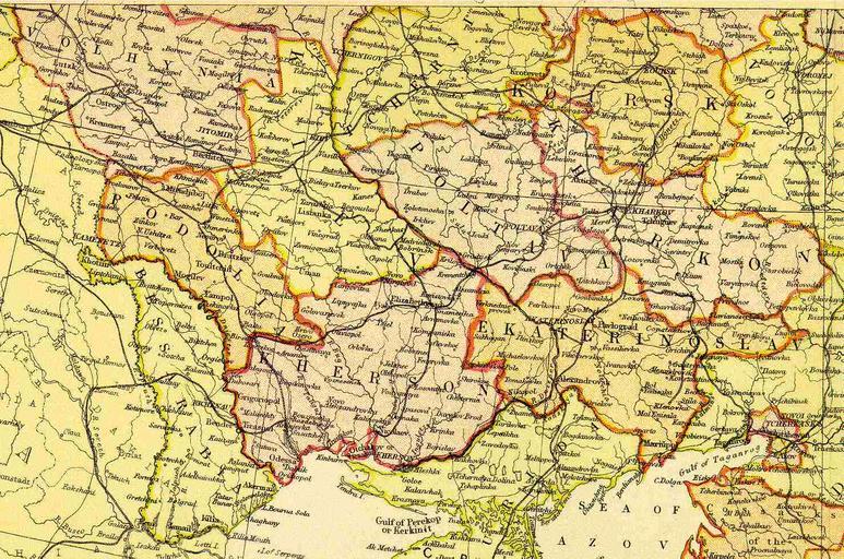
| Keywords: Ukraine 1882.JPG Ukraine Source Scan from Blackie Sons Atlas Edinburgh 1882 Date 1892 Scale 1 6 100 000 or one inch about 96 miles PD-Art Maps of the Russian Empire in Blackie Sons Atlas 1882 Old maps of Ukraine 1882 maps of Russia Artworks missing infobox template | ||||