MAKE A MEME
View Large Image

| View Original: | USA_Territorial_Growth_1850_Alt.jpg (1136x552) | |||
| Download: | Original | Medium | Small | Thumb |
| Courtesy of: | commons.wikimedia.org | More Like This | ||
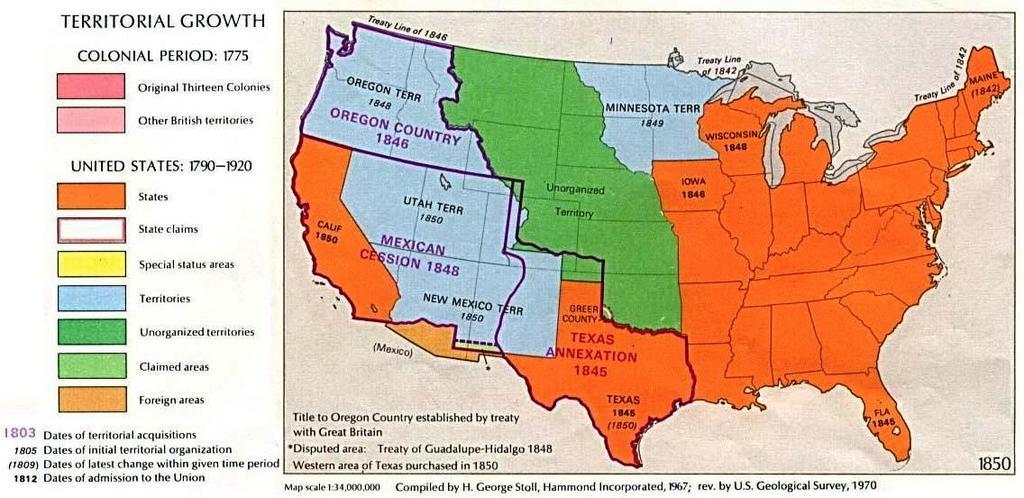
| Keywords: USA Territorial Growth 1850 Alt.jpg US growth maps Map of U S Territorial Growth 1850 from the Perry-Castañeda Library Map Collection the maps scanned by the University of Texas Libraries and served from this web site are in the public domain No permissions are needed to copy them You may download them and use them as you wish The original version of this image can be found at http //www lib utexas edu/maps/united_states/us_terr_1850 jpg U S Territorial Growth 1850 Courtesy of the University of Texas Libraries The University of Texas at Austin This version has been visually re-configured for article use by Beyond My Ken <span class signature-talk >talk</span> 21 26 18 April 2010 UTC Other versions 150px PD-old Check categories 2008 November 7 USA Territorial Growth Territorial growth maps of the United States | ||||