MAKE A MEME
View Large Image

| View Original: | USATopographicalMap.jpg (3199x2107) | |||
| Download: | Original | Medium | Small | Thumb |
| Courtesy of: | commons.wikimedia.org | More Like This | ||
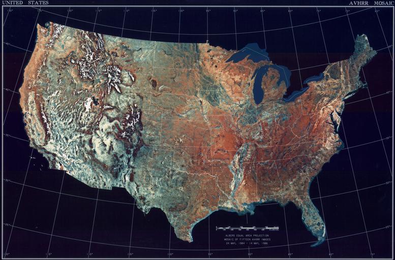
| Keywords: USATopographicalMap.jpg Satellitenbild der 48 Zentralstaaten der Vereinigten Staaten AVHRR satellite image with topography of the 48 contiguous states of the United States Mapa de los 48 estados continentales contiguos de los Estados Unidos http //www1 ncdc noaa gov/pub/data/images/usa-avhrr gif National Climactic Data Center/NOAA Satellite and Information Service 2008-02-05 U S Dept of Commerce/National Climactic Data Center/NOAA Satellite and Information Service PD-USGov PD US NOAA Satellite pictures of the United States Topographic maps of the United States 02 | ||||