MAKE A MEME
View Large Image

| View Original: | Visualize historical hurricane tracks.tiff (2276x1630) | |||
| Download: | Original | Medium | Small | Thumb |
| Courtesy of: | commons.wikimedia.org | More Like This | ||
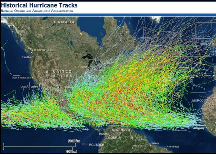
| Keywords: Visualize historical hurricane tracks.tiff en NOAA ôs Coastal Services Center has redesigned an online map tool for visualizing the tracks of historical hurricanes es El centro de servicio costanero NOAA a remodelado su herramienta en la web para trazar las rutas de hurracanes hist√≥ricos 2014-10 NOAA in the Caribbean http //www regions noaa gov/secar/wp-content/uploads/2013/06/NOAA-Carib-Newsletter-Volume-3-Issue-1-2014-October pdf NOAA other versions PD-USGov Cumulative tropical cyclone tracks Maps of the Caribbean Maps of the Atlantic Ocean Maps of the Americas | ||||