MAKE A MEME
View Large Image
| View Original: | Western_Alaska_map_400x800.jpg (400x800) | |||
| Download: | Original | Medium | Small | Thumb |
| Courtesy of: | commons.wikimedia.org | More Like This | ||
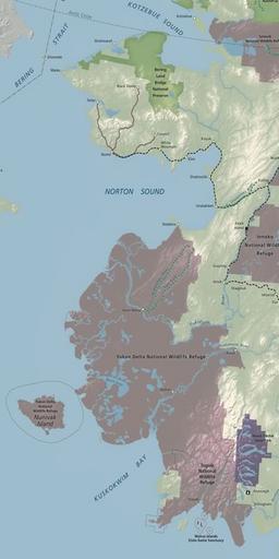
| Keywords: Western Alaska map 400x800.jpg en Map of Western Alaska showing the Seward Peninsula the Yukon-Kuskokwim Delta and Nunivak Island with public lands identified NPS undated http //www alaskacenters gov/ Alaska Public Lands Information Center http //alaskacenters gov/maps-western cfm United States Department of Interior PD-USGov Uploaded with UploadWizard Regions of Alaska Protected areas of Alaska Maps of Nunivak Island | ||||