MAKE A MEME
View Large Image

| View Original: | Weston from the ferry.jpg (6016x4000) | |||
| Download: | Original | Medium | Small | Thumb |
| Courtesy of: | commons.wikimedia.org | More Like This | ||
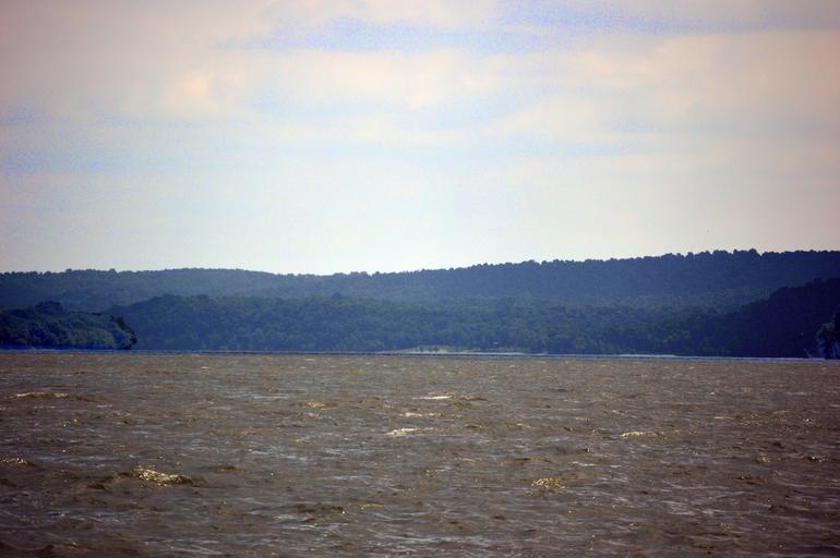
| Keywords: Weston from the ferry.jpg 37 27 49 N 88 9 58 W Distant view from the west of the landing at w Weston Kentucky Weston in Crittenden County Kentucky Crittenden County Kentucky United States The high hill in the background is Obie Mound elevation 435 feet above the river Much closer to the river see annotation the Weston Bluff Skirmish Site Weston Bluff was the site of local conflict during the Civil War; it is listed on the National Register of Historic Places Photo looks eastward from the Cave-in-Rock Ferry own 2016-06-20 User Nyttend Nyttend None Cave-in-Rock Ferry Kentucky in the American Civil War National Register of Historic Places in Crittenden County Kentucky Scenery pictures by User Nyttend ImageNote 1 1760 2105 842 444 6016 4000 2 Weston Bluff ImageNoteEnd 1 ImageNote 2 2677 2338 887 286 6016 4000 2 Weston waterfront ImageNoteEnd 2 | ||||